Workflow language
- survey point
- benchmark
- station ID
- well permit
- borehole
- pipeline route
- sample location
- GIS coordinate
- plot ID
- asset inspection
- field sheet
- pump station
- watershed/catchment
- monitoring round
IND-22
Environmental monitoring, surveying, water, geology, ecology, engineering survey and field-maintenance teams identify stations, wells, pipelines, plots, pumps and inspection assets across distributed, outdoor, wet or remote locations.
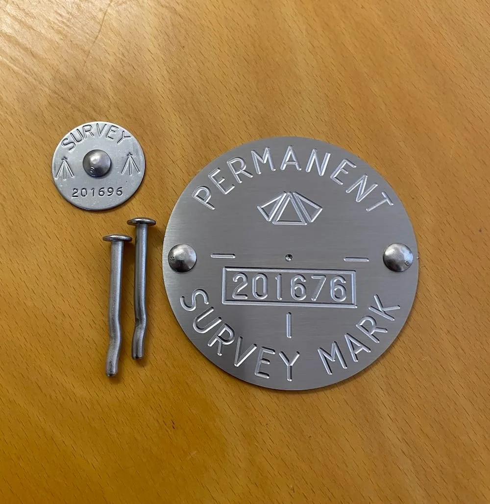
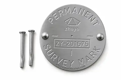
This product is intended for survey practices, civil sites, environmental field teams and plot-monitoring projects.
Review product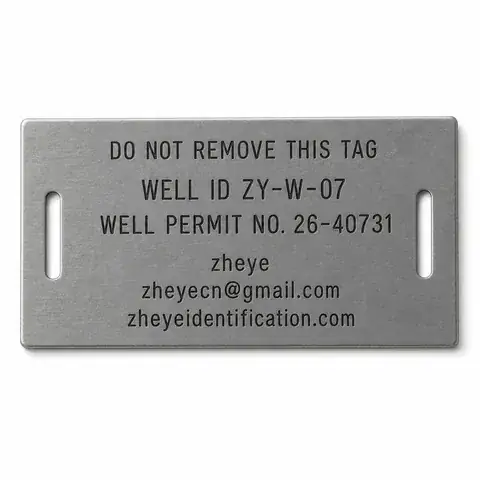
This product is intended for water-well drillers, groundwater and environmental consultants, monitoring-well programmes, facility owners and permitting authorities.
Review product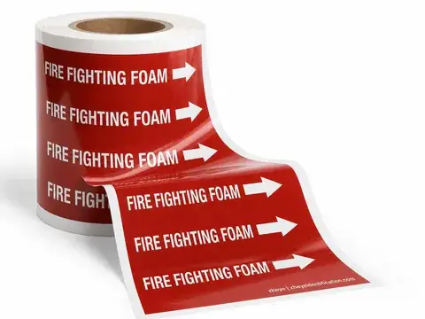
This product is intended for process-plant maintenance, piping engineers, valve service crews and EPC site teams.
Review product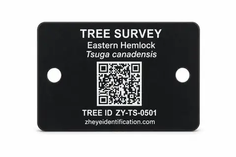
This product is intended for urban-tree inventories, forestry surveys, ecological monitoring, arboricultural maintenance and permanent-plot teams.
Review product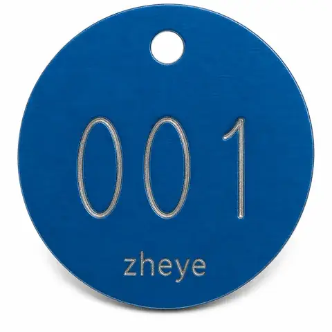
This product is intended for urban-tree inventories, forestry surveys, ecological monitoring, arboricultural maintenance and permanent-plot teams.
Review product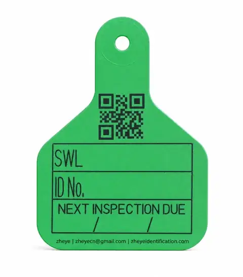
This product is intended for quality departments, metrology staff, equipment inspectors and third-party inspection providers.
Review product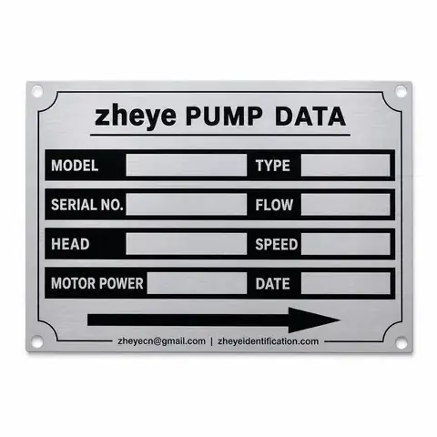
This product is intended for pump manufacturers, skid builders, water-treatment projects and process-plant maintenance teams.
Review product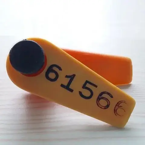
This product is intended for fish, turtle or marine-animal population surveys, movement studies and capture-recapture programmes.
Review product